
We hear it a lot: “Why do so many of the scenic drives in Arizona Highways require a high-clearance vehicle?” It isn’t by design. But there are only so many paved scenic roads in Arizona, and on dirt roads, the quality of the roadway tends to be inversely correlated to the quality of the view out the window.
Willow Springs Road is a welcome exception. For the entirety of its 19.5 miles, it’s nearly as easy to navigate as State Route 77, the highway in the Oracle area from which it begins. A cyclist riding there on a recent Friday morning offered another description: “It’s superhighway smooth.” And along the way are views of mountains, desert plants and more.
There’s also an area attraction worth checking out before you even begin the drive. Just east of the starting point on SR 77 is the turnoff for Biosphere 2, which is best known for its experiments with closed environmental systems in the 1990s. Now a research facility operated by the University of Arizona, it’s open daily for public tours, which can be reserved online. After that, head back to the highway, then north on Willow Springs Road.
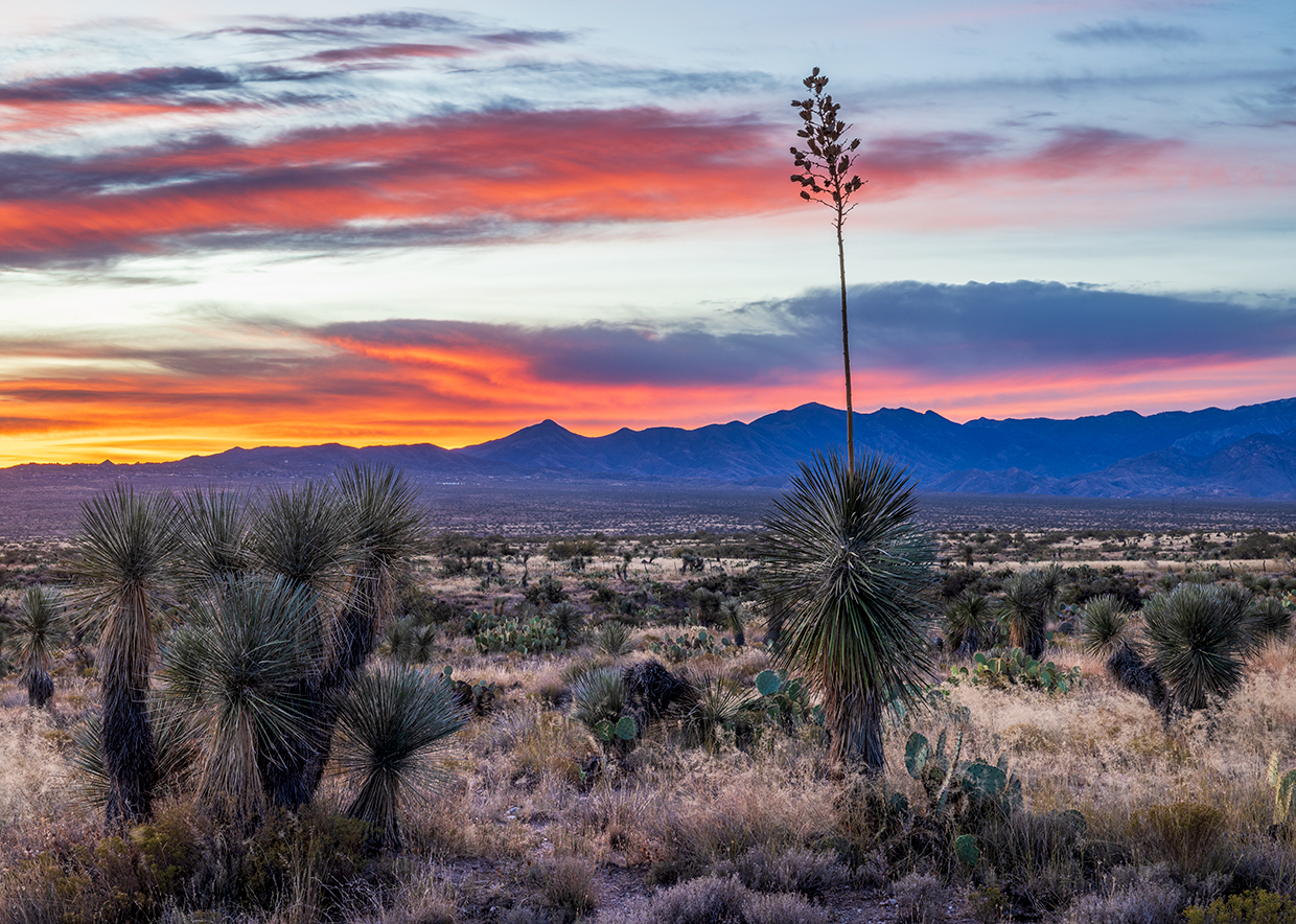
The Santa Catalina Mountains loom to the south, and early on, you’ll pass numerous prickly pear cactuses along the wide, rolling route. As the road curves to the northwest, you’ll see Black Mountain, an isolated peak that’s among Arizona’s 100 most prominent, straight ahead.
Healthy yuccas and large barrel cactuses soon appear amid the desert scrub vegetation, and after 6.3 miles, you’ll reach a cattle guard and entrance arch for the Willow Springs Ranch, which dates to the 1880s. Next, the road curves to the northeast, offering views of the Catalinas to the south and the Galiuro Mountains to the distant east, before turning back toward Black Mountain. You might also see scattered evidence of the Freeman Fire, which scorched more than 30,000 acres in this area in the summer of 2024.
After another panorama of the Galiuros at Mile 9.5, the road rambles through a series of washes, which make this route popular among runners and cyclists with calories to burn. Then, you’ll make a close approach to Black Mountain, which — as you might expect — is one of two dozen Arizona peaks with that name. This one rises to an elevation of 5,581 feet, and its dark volcanic rocks stand out from its lighter-colored desert surroundings.
Another point of interest comes into view around Mile 15. On the right, to the northeast, look for an isolated reddish butte. That’s Antelope Peak, which rises to more than 4,500 feet above sea level. It’s the highest point in the Tortilla Mountains, a minor range that runs from northwest to southeast. The views at the top of this peak make it popular among hardy backcountry hikers.
The remaining portion of Willow Springs Road winds through a forest of mesquites and other desert trees, and while evidence of the fire is more prominent here, it doesn’t detract from the drive’s overall beauty. After you crest a hill with a view of mountains to the distant north, it’s less than a mile to a “Y” intersection. Either fork will take you to Freeman Road, which leads west to State Route 79 or east to the San Pedro River and the tiny town of Dudleyville.
Be advised, though, that Freeman Road is slightly rougher than the route you just traveled, so if you have any doubts, turn around and head back the way you came. After all, it’s not every day you get to travel a “superhighway smooth” dirt road in the Arizona desert.
tour guide
Note: Mileages are approximate.
Length: 19.5 miles one way (from State Route 77)
Directions: From State Route 77 west of Oracle, go north on Willow Springs Road for 19.5 miles to Freeman Road.
Vehicle requirements: None in good weather. The route crosses several washes, so don’t attempt the drive after recent heavy rain or if rain is in the forecast.
Warning: Back-road travel can be hazardous, so be aware of weather and road conditions. Carry plenty of water. Don’t travel alone, and let someone know where you are going and when you plan to return.
Information: Biosphere 2, 520-621-4800 or biosphere2.org
Travelers in Arizona can visit az511.gov or dial 511 to get information on road closures, construction, delays, weather and more.