
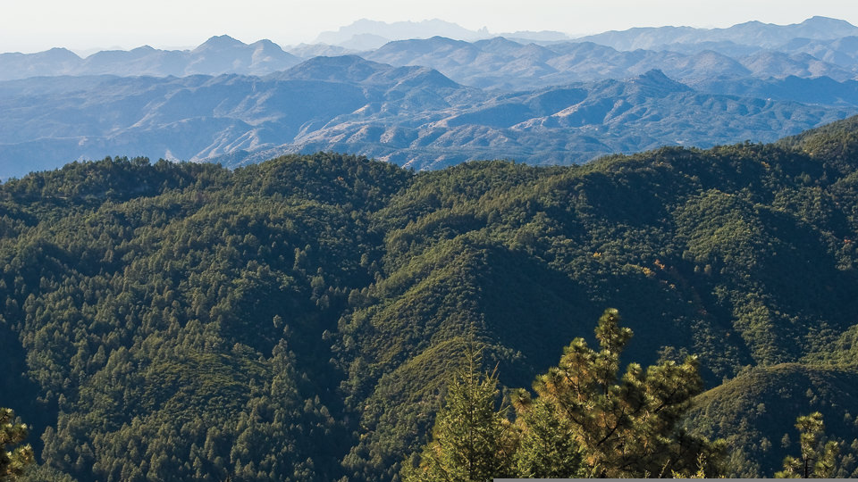
Pinal Mountains, Tonto National Forest
There's the proximity to the masses, of course, but more importantly, there's the solitude and the scenic beauty. The Pinal Mountains are among the state's handful of sky islands — high-elevation zones surrounded by desert — which means a 95-degree day among the saguaros in Phoenix can easily become a 65-degree adventure among the ponderosas of the Pinals. Geographically, it's not all that different from a trek in the White Mountains or the Catalinas.
The high point of the Pinals is Pinal Peak, which tops out at around 7,800 feet. This is where most of the trails are headed, and there are several to choose from: Icehouse, Bobtail, Telephone. The best introduction to the area, however, is along the Pioneer Trail. It's rated moderate, and the trailhead is located just south of the Pioneer Pass Recreation Area, which, like the mountain range itself, is another hidden gem. Built by the Civilian Conservation Corps in the 1930s, the rec area is a perfect place for a family picnic or a post-hike hootenanny.
Getting back to the hike, one of the first things you'll notice is that the sign for the trail reads: "Squaw Springs Trail." For obvious reasons, the name has been changed, but the signs have not. Nevertheless, it's the same trail, and it kicks off with a series of switchbacks that cut through a forest of stately ponderosas and Flintstone boulders. After about 15 minutes, look to the right. The panorama to the northeast is sensational. A few minutes later, you'll come to a grove of manzanitas that rivals any grove on any hike in Arizona. As you'll see, the trail serves as a tunnel through the thicket. It's almost primeval.
From there, the route continues its uphill climb — in and out of the forest — to a long series of well-built steps that lead to even more rocks and trees, including maples. Beyond this point, the trail is overrun at times by thorny bushes that seem to laugh at hikers who attempt the trail in shorts — do yourself a favor and wear long pants. Eventually, after an hour or so, you'll arrive at a place where the trail is blocked by a fallen ponderosa. The route is a little tricky to find at this point, but if you look 90 degrees to the left of the log, you'll see where to go.
A few hundred yards later, you'll pass through a cattle gate and come to a forest road, which services the surrounding radio towers. To the right is a cluster of boulders, some of which are bigger than a bread truck. Walk that way and check them out. The views from their tops are out of this world. You can't quite see Phoenix, but rest assured, it's only about an hour away.
Length: 4.6 miles round-trip
Elevation: 6,156 to 7,800 feet
Difficulty: Moderate
Directions: From Globe, follow the signs to Besh-Ba-Gowah Pueblo Ruins. Just past the turnoff, turn right onto Icehouse Canyon Road and continue 1.7 miles to the intersection of forest roads 112 and 55. Veer left onto FR 112 and continue 6.9 miles to the Pioneer Pass Recreation Area. The trailhead is another 1.5 miles to the south.
USGS Map: Pinal Peak
Information: 928-402-6200 or www.fs.fed.us/r3/tonto