
“Directly west of the town of Prescott, [Arizona Territory], this solitary butte shows conspicuously, rising its head from a sea of pines, a monarch of this waving forest army which nods, bows and whispers, sending forth its ‘ocean-borrowed murmur,’ its only tribute of courtly worship.” That was how The Weekly Arizona Miner described Thumb Butte in 1872, and more than 150 years later, the Prescott area’s best-known landmark still inspires a feeling of awe. That’s especially true when it’s seen up close — one of the many allures of this loop drive.
From Prescott’s Courthouse Square, head west on Gurley Street, which turns into Thumb Butte Road as it winds uphill and passes homes and businesses. After a couple of miles, you’ll get a good view of Thumb Butte on the left as you navigate a quiet neighborhood; a half-mile later, you’ll be at the foot of the outcrop, which formed about 15 million years ago and is made up of latite, a type of volcanic rock. It rises to an elevation of about 6,500 feet and is home to numerous animal species, including peregrine falcons during nesting season.
Thumb Butte Recreation Area, which includes the peak and the surrounding terrain, is managed by the Prescott National Forest. The area’s day-use site, which you’ll pass at Mile 3.4, features trailheads for several hiking routes, along with picnic tables and restrooms. From there, continue west as the road crosses Miller Creek and climbs through tall ponderosa pines and smaller oaks, with scattered pullouts along the way to stop and enjoy the scenery.
At Mile 5.2, you’ll come to a “Y” intersection. Bear left to leave the pavement and get on Thumb Butte Loop Road, a dirt route that’s rocky, rutted and pitted in places but navigable in most two-wheel-drive SUVs in good weather. As this road climbs, the views get more impressive, and within a mile, you’ll see a different perspective of Thumb Butte, along with the Santa Maria Mountains to the northwest. Keep an eye out for wild turkeys, which tend to amble across the road without much regard for oncoming traffic.
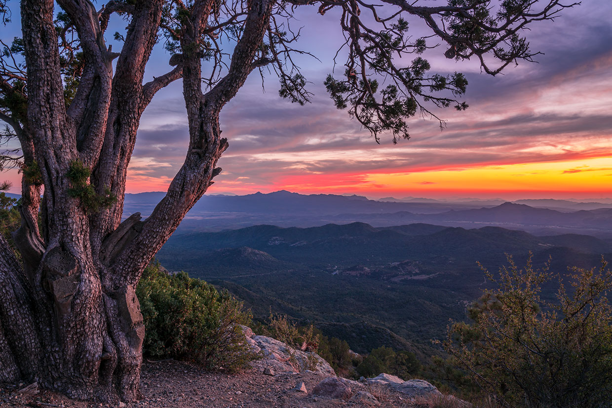
You’ll soon navigate a stretch with a steep drop-off on the left, offering a look at more pines and oaks, along with a few junipers. But the best is yet to come: At Mile 8.5, you’ll round a bend and get a panoramic view to the southwest that includes the distant Weaver Mountains, which cradle the towns of Yarnell and Peeples Valley. Stop a quarter-mile later, at Sunset Lookout, to take it in; as the name indicates, it’s an ideal place to catch the day’s last rays.
The road now rolls downhill through a thick forest of junipers until Mile 9.8, when you’ll reach a “T” intersection. Turn left onto Copper Basin Road, which is unmarked but wider and smoother than Thumb Butte Loop Road. It passes more ponderosas, along with a few unexpected aspen groves, before houses start dotting the roadsides around Mile 12. A half-mile later, you’ll be back on pavement and enjoy views to the northeast, including the San Francisco Peaks, as you descend toward Prescott.
At Mile 15.7, you’ll reach White Spar Road. Complete the loop by turning left and going 1 mile back to bustling Courthouse Square, where you can reflect on what has changed since the Miner said this of Thumb Butte in 1872: “With what emotions of pleasure may not its stony heart pulsate as it looks down upon the pleasant village of Prescott, just growing into a city.”
tour guide
Note: Mileages are approximate.
Length: 16.7-mile loop (from Prescott)
Directions: From the intersection of Gurley and Montezuma streets in Prescott, go west on Gurley Street, which turns into Thumb Butte Road (County Road 65), for 5.2 miles to a “Y” intersection. Bear left, onto Thumb Butte Loop Road (Forest Road 373), and continue 4.6 miles to Copper Basin Road (County Road 64). Turn left onto Copper Basin Road and continue 5.9 miles to White Spar Road (State Route 89). Turn left onto White Spar Road, which turns into Montezuma Street, and continue 1 mile back to the starting point of the drive.
Vehicle requirements: A high-clearance vehicle, such as an SUV or truck, is required, but four-wheel-drive is not necessary in good weather.
Special consideration: A $5 fee is required to park at Thumb Butte Recreation Area’s day-use site.
Warning: Back-road travel can be hazardous, so be aware of weather and road conditions. Carry plenty of water. Don’t travel alone, and let someone know where you are going and when you plan to return.
Information: Bradshaw Ranger District, 928-443-8000 or fs.usda.gov/prescott
Travelers in Arizona can visit az511.gov or dial 511 to get information on road closures, construction, delays, weather and more.