
Coconino National Forest, Flagstaff
O’Leary Peak is a lava-dome volcano, not a cinder cone like Sunset Crater Volcano, its better-known counterpart to the south. Here’s the difference: Cinder cones are created from particles and blobs of congealed lava ejected from a single vent, while lava domes are formed by relatively small, bulbous masses of lava too viscous to flow any great distance. There won’t be a quiz on this later, but it’s something to think about as you make your way to O’Leary Peak.
As trails go, this one is a little different. There’s the surrounding field of lava, of course. That’s different. Also, there aren’t any long treks through thickets of trees — this route is mostly out in the open. And then there’s the trail, which isn’t a trail. It’s an old jeep road that allows for tandem hiking. That’s not unprecedented in our Hike of the Month, but it’s not conventional. If you want conventional, head to the Kachina Trail. If you want something different, this is a good place to start.
The hike begins near O’Leary Group Campground. You’ll see a locked gate when you pull up, and a small parking area. Through the gate is the jeep road. Hit the road, and within a few minutes, you’ll get your first look at the lava flow on your right. Along its edges are some small aspens, ponderosas and a few spruce. It’s a fascinating landscape that begs to be explored, but there are better opportunities in the national monument to the south.
Along with the rocks and trees, you’ll start catching glimpses of a lookout tower to the north. It’s there for spotting fires, but it also offers some perspective on where you’re going — and where you’ve been, once you’re headed back down.
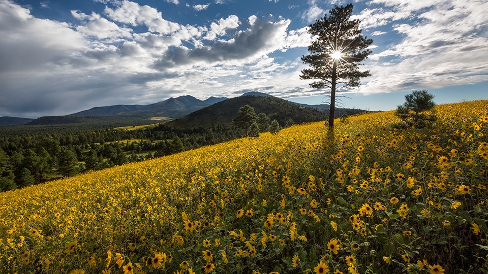
After about 15 minutes, the road, which has been mostly level to this point, begins a slight ascent. Fifteen minutes later, it steepens significantly and veers northwest, toward the summit. The switchbacks are long, and lead to a saddle between O’Leary Peak and Darton Dome. The views of the San Francisco Peaks are nice. Very nice. Snap a few photos, and then turn your head to the south, where you’ll see the evolving landscape of Sunset Crater Volcano National Monument.
Although it’s been almost 1,000 years since the volcano erupted, about half the monument is still barren, with little obvious vegetation. Things are changing, though. Along with the evergreens and aspens at the outset of the hike, the cinder fields are dotted with piñon pines. The oldest are about 250 years old — biologists believe they were the first trees to take root in the area. In addition, there are 166 documented plant species, including rabbitbrush, Utah juniper, cliffrose and Apache plume.
Back on the trail, the switchbacks continue. The slopes are sprinkled with pines, including a gnarly old codger, about 90 minutes in. It looks like the apple tree that accosted Dorothy in The Wizard of Oz, but this one doesn’t have any leaves or apples, and it doesn’t talk. Not in our language, anyway. It does, however, speak to the challenges of survival in a harsh landscape like this. Beyond the big tree, the road narrows and steepens as you make the final ascent to the summit. There’s a gate at the top, which is the last obstacle before the lookout tower. During fire season, if the tower is open, you can climb the 39 steps to the observation deck and say hello to the ranger on duty. If no one is around, no matter. There’s a great lookout area to the southeast of the tower. You have to scramble over some rocks and around a few trees to get there, but it’s worth the effort. The views are spectacular.
Among other natural landmarks, you can see the Inner Basin of the San Francisco Peaks and the North Rim of the Grand Canyon. Maybe even more impressive, you can see into Sunset Crater, which, as you know, is a cinder cone, not a lava dome.
Length: 10 miles round-trip
Difficulty: Moderate
Elevation: 6,846 to 8,916 feet
Trailhead GPS: N 35˚22.315’, W 111˚32.467’
Directions: From downtown Flagstaff, go north on U.S. Route 89 for 15.7 miles to Forest Road 545 (the road to Sunset Crater Volcano and Wupatki national monuments). Turn right onto FR 545 and continue 1.7 miles to Forest Road 545A. Turn left onto FR 545A and continue 0.3 miles to the trailhead, which is located at the O’Leary Group Campground.
Vehicle Requirements: None
Dogs Allowed: Yes (on a leash)
Horses Allowed: Yes
USGS Map: O’Leary Peak
Information: Flagstaff Ranger District, 928-526-0866 or www.fs.usda.gov/coconino