
Coconino National Forest, Flagstaff
In the Flagstaff area, the San Francisco Peaks get much of the attention — but, despite the best efforts of John Weatherford in the early 1900s, you can’t summit the Peaks in a car. For a good look at Arizona’s highest mountains and a whole lot more, go southeast of town and head up the Coconino National Forest’s Hutch Mountain, which offers 360-degree views and a break from the summer heat.
The drive begins on Forest Highway 3, which passes Lake Mary and Mormon Lake on its way out of Flagstaff. From the paved highway, head east on Forest Road 135, which is rocky and rutted but suitable for most SUVs. Along with tall ponderosa pines, hundreds of ancient stumps — evidence of the large-scale logging that once happened here — line the roadside. FR 135 then climbs into a thick stand of ponderosas before you turn left onto Forest Road 135B, the route up Hutch Mountain.
Within a mile on FR 135B, Douglas firs begin to appear. They’re a pleasant change of pace from the region’s ubiquitous ponderosas. So is the large grove of aspens you’ll encounter at a U.S. Forest Service gate around Mile 4. The Hutch Mountain Lookout is about a quarter-mile past this gate. Drifts of snow have a way of lingering on the north-facing portion of this stretch, but the road makes an easy hike if it isn’t driveable.
The mountain’s summit, at more than 8,500 feet, is ideal for a fire lookout tower. The view is plenty good from the ground, but if there’s a lookout on duty, he or she likely will give you permission to climb the tower, which was built by the Civilian Conservation Corps in 1936 to replace a wooden tower erected in the 1920s. From up there, the Peaks stand out to the northwest, but on a clear day, you’ll also see Bill Williams Mountain farther west, the Painted Desert to the northeast and even the Mazatzal Mountains to the south. And if you need visual proof that Arizona is home to the world’s largest contiguous stand of ponderosa pines, you’ll get it.
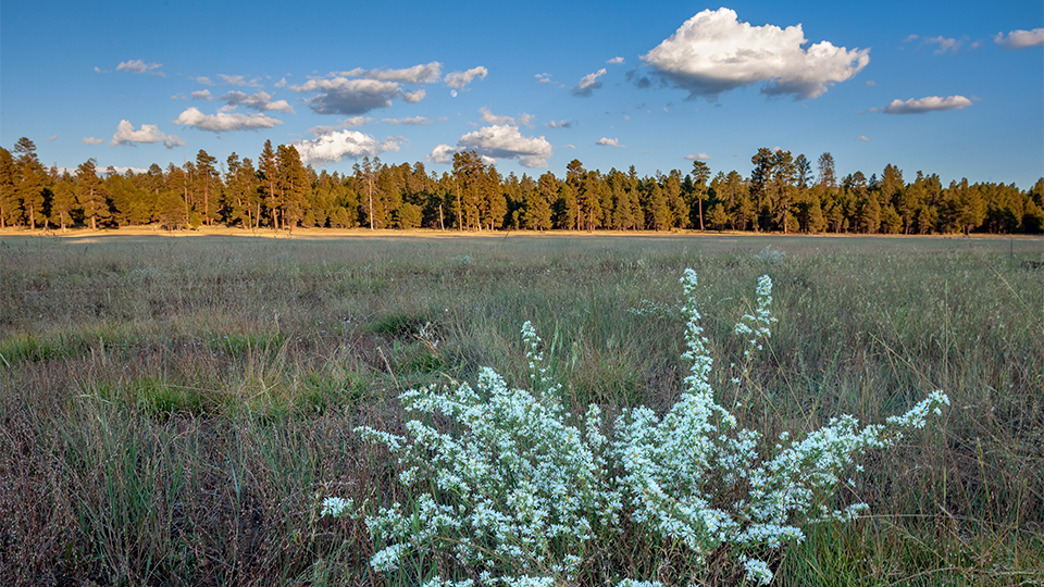
Once you’ve shot enough photos and descended the tower, you’ll backtrack to FR 135, then continue east. On this stretch, oaks and scattered aspen groves join the ponderosas. At a junction with Forest Road 124H at Mile 8, stay right to remain on the main road as you pass under some power lines. A mile later, a side road to the left leads a quarter-mile to Pine Spring, located in a peaceful meadow where you might spot scattered evidence of one of the Flagstaff area’s early settlements.
Just past that side road on FR 135, turn right onto Forest Road 294, which then loops around Bargaman Park, a huge, ponderosa-lined meadow where you’re likely to see elk or other animals. After another pass beneath the power lines, FR 294 meanders back to FH 3 about 5 miles south of the drive’s starting point. Head back to Flagstaff the way you came. The views along the forest highway are always nice. But maybe not as nice as those atop Hutch Mountain.
Note: Mileages are approximate.
Length: 14 miles one way (from Forest Highway 3)
Directions: From the intersection of State Route 89 (Beulah Boulevard) and Forest Highway 3 (Lake Mary Road) in Flagstaff, go southeast on FH 3 for 33 miles to Forest Road 135. Turn left (east) onto FR 135 and continue 2.6 miles to Forest Road 135B. Turn left onto FR 135B and continue 1.6 miles to the summit of Hutch Mountain. Backtrack 1.6 miles to FR 135, turn left and continue 3.8 miles to Forest Road 294. Turn right onto FR 294 and continue 5.1 miles to FH 3.
Vehicle requirements: A high-clearance vehicle is required. Four-wheel-drive is recommended for FH 135B.
Warning: Back-road travel can be hazardous, so be aware of weather and road conditions. Carry plenty of water. Don’t travel alone, and let someone know where you are going and when you plan to return.
Information: Mogollon Rim Ranger District, 928-477-2255 or www.fs.usda.gov/coconino