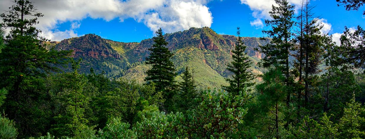
Tonto National Forest, Payson
The drive along Forest Road 200, near Young, is beautiful any time of year. But it’s particularly rich in fall, which features warm days, cool nights, and copper and gold foliage along Haigler Creek.
On a warm October day, we head east from Payson on State Route 260, a scenic, forested highway with views of the Mogollon Rim. We glimpse our first fall color in Star Valley. Here, Fremont cottonwoods above the Lamplighter RV Resort light up like torches in the morning sun, as though nature itself were advertising the vacation community.
After 24 miles, we turn right onto Colcord Road, which is paved for the first 3 miles. Here, Gambel oaks accent the thick stands of pines with flecks of burnished gold. In about a mile, we cross a grassy streambed where streamers of canyon grape vines drape a red stone culvert with flamboyant yellow leaves. Narrowleaf cottonwoods add a deeper, muted tone, their long, languid leaves hinting at their place in the willow family.
Four miles from SR 260, we turn right onto Forest Road 200, a gently winding gravel drive, and soon pass a stand of maples. Decked out in shades of red and yellow, these trees look as energetic as toddlers against the somber golds of the oaks. Later, at Fisherman’s Point, we catch our first glimpse of Haigler Canyon, which drops dramatically below. Before long, the road opens up onto a sweeping view of the canyon, with sycamores tracing the course of Haigler Creek like a rusty thread through a plush carpet of green.
As the road descends into the canyon, ponderosas give way to piñon pines, oaks and junipers. On this day, Haigler Canyon Campground stands empty and silent, except for the shushing of the creek and the chattering of birds.
Continuing on, we cross Haigler Creek where it cascades shallowly but relentlessly over a concrete bridge, exposing an impressive tangle of roots belonging to a large sycamore. The erosion has left the tree’s pale, mottled trunk marooned on a little island, its gnarled roots clutching at embedded rocks.
When we reach Forest Road 202A, we take the half-mile detour to Alderwood Campground. It looks magical, with light filtering through a thick canopy of trees, and strings of canyon grapes circling alligator junipers like holiday lights. Several gates lead into the creek, where thick, green grass carpets the streambed and graceful sycamores release a steady rain of copper-colored autumn leaves.
Back on FR 200, the forest gives way to an undulating sea of grass, pale as straw and dotted with junipers. About a mile before the road ends, a U.S. Forest Service sign marks the 1887 grave of a Navajo shepherd — the first victim of the Pleasant Valley War, the famous feud between the Tewksburys and the Grahams.
FR 200 ends after 16 miles. To the right, State Route 288 leads south, toward Young. To the left, County Road 512 winds north, toward SR 260. We take the partly paved, 21-mile northern route, catching sight of a few aspens — their golden leaves glittering like coins — before rejoining SR 260. Turning left, we head back to Payson, savoring memories of a day well spent.
Note: Mileages are approximate.
Length: 20 miles one way (from State Route 260)
Directions: From Payson, go east on State Route 260 for 24 miles to Colcord Road (Forest Road 291). Turn right (south) onto Colcord Road and continue 4 miles to Forest Road 200. Turn right onto FR 200 and continue 16 miles to State Route 288 north of Young.
Vehicle requirements: None in good weather.
Warning: Back-road travel can be hazardous, so be aware of weather and road conditions. Carry plenty of water. Don’t travel alone, and let someone know where you are going and when you plan to return.
Information: Pleasant Valley Ranger District, 928-462-4300 or fs.usda.gov/tonto

