
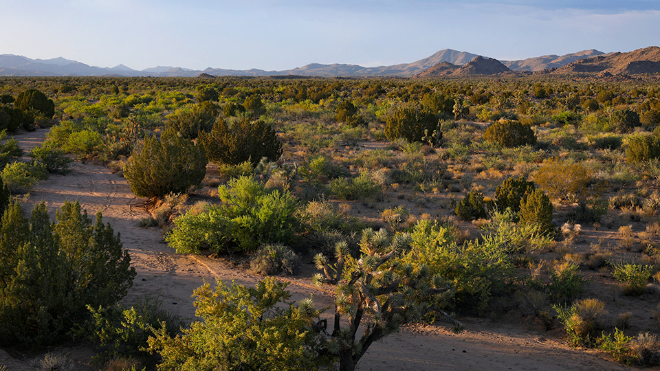
Sonoran Desert, Wikieup
Sometimes, you have to venture far from paved routes to find stunning Arizona scenery. Other times, that beauty is hiding just off the road. The Chicken Springs Loop, which begins amid the Joshua trees along U.S. Route 93 northwest of Wickenburg, falls into both categories. From strange plants and mountain views to a well-preserved ghost town, this 50-mile loop drive has something for everyone as it ventures from a heavily traveled highway into a remote desert environment.
Reset your trip odometer in Wikieup, a small community along U.S. 93, and head southwest on Chicken Springs Road. You’ll pass through a residential area before the pavement ends. When that happens, go left at a “Y” intersection to stay on Chicken Springs Road. For the next several miles, you’ll be treated to one of the few places in Arizona where saguaros, ocotillos and other Sonoran Desert flora mingle with Joshua trees, which typically are a Mojave Desert plant. At Mile 1.4, on the left side of the road, is another rare sight: a crested saguaro, which is growing next to a Joshua tree. Scientists aren’t sure what makes saguaros adopt this bizarre form, but frost damage or a genetic mutation could be the cause.
As you continue southwest, the saguaros eventually take a back seat to the Joshua trees and the view of Aubrey Peak, straight ahead. By Mile 8, the Joshuas completely take over as the road crests a hill and begins to descend. They’ll remain the dominant vegetation until Mile 14.5, when you’ll turn left onto Alamo Road — which, like Chicken Springs Road, is a well-maintained dirt path. It passes the McCracken Mountains on the right; farther south is the Aubrey Peak Wilderness (named for a different Aubrey Peak), which is maintained by the federal Bureau of Land Management. It protects more than 15,000 acres of stark geologic formations and a herd of desert bighorn sheep.
After 10 miles on Alamo Road, you’ll turn left onto Signal Road, where saguaros return to replace the Joshua trees. Before long, you’ll come to a handmade sign that points to the ghost town of Signal, which sits along the mostly dry Big Sandy River. This town grew out of mining operations that began in the McCracken Mountains in the 1870s. Today, the heavily overgrown area features the concrete foundations of Signal’s mill and a circular platform, above the mill, that once held a water tank. Farther south are large rock walls and the town’s cemetery, which includes some graves from the 1880s.
Keep an eye out for black-tailed jackrabbits and turkey vultures as you continue on Signal Road. You’ll cross the Big Sandy three times in a 4-mile span. The crossings are shallow, but exercise caution if the river is flowing. From the last crossing, it’s less than 5 miles to an intersection with U.S. 93 about 8 miles southeast of Wikieup. Turn left to complete the loop, or turn right to continue southeast to Wickenburg and the Phoenix area.
Note: Mileages are approximate.
Length: 50-mile loop
Directions: From Wikieup, go southwest on Chicken Springs Road for 14.5 miles to Alamo Road. Turn left
onto Alamo Road and continue 10 miles to Signal Road. Turn left onto Signal Road and continue 17.5 miles to
U.S. Route 93. Turn left onto U.S. 93 and continue 8 miles back to Wikieup.
Vehicle requirements: A high-clearance vehicle is required, but four-wheel-drive is not necessary in good weather.
Warning: Back-road travel can be hazardous, so be aware of weather and road conditions. Carry plenty of water. Don’t travel alone, and let someone know where you are going and when you plan to return.
Information: Kingman Field Office, 928-718-3700 or blm.gov/arizona